


Advisory for Cyclonic storm “Mandous”


.png )
COLOMBO (News 1st) - The Department of Meteorology says that the Severe Cyclonic storm “Mandous” lay centred over Southwest Bay of Bengal (250km northeast of Trincomalee) near latitude 10.4N and longitude 82.6E at 08.30 p.m yesterday (8).
It is very likely to move west-northwestwards and cross North Tamil-Nadu, Puducherry and South Andhra Pradesh coast around mid-night of 09th December.
Maximum wind speeds will be (70-90) kmph and can increase up to 100 kmph in sea areas between (06N – 15N, and 80E – 88E).
Heavy showers or thundershowers and very rough to high seas can be expected in the aforementioned sea areas.
There is a possibility that near-shore sea areas off the coast extending from Kankasanturai to Trincomalee via Mullaitivu may experience surges due to swell waves of (about 2.5 m – 3.5 m)
height (This is not for the land area).
Southern sea areas bounded by (02N - 06N, 80E – 88E) will be very rough at times and wind speeds will be (40-50) kmph and can increase up to 70 kmph in the Southern sea areas.
The cyclonic storm “Mandous” over Southwest Bay of Bengal (300km northeast of Trincomalee) is located near latitude 9.5N and longitude 83.8E at 08.30 a.m. today (9).
It is very likely to move west-northwestwards and cross North Tamil-Nadu, Puducherry and South Andhra Pradesh coast over the Southwest Bay of Bengal around midnight of 09th December.
Cloudy skies will prevail over most parts of the Island.
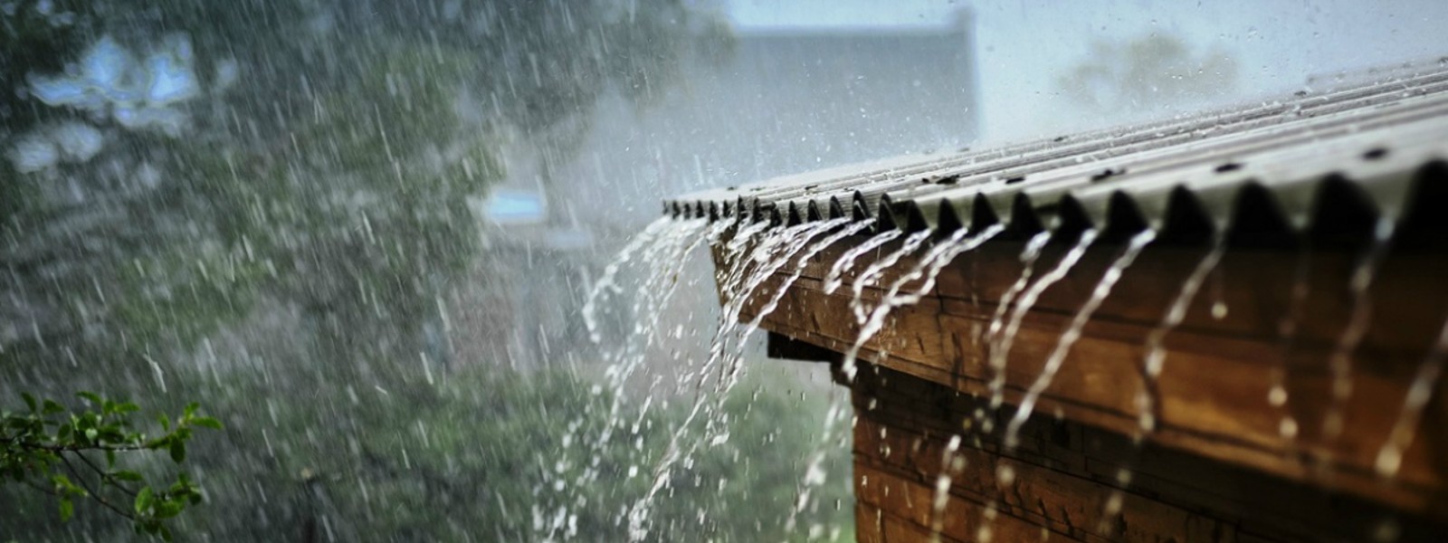
Intermittent showers are expected in the Northern Province with heavy rainfall exceeding 100mm at some places.
Showers will occur at times in the Sabaragamuwa Province and in Galle, Matara and Trincomalee districts.
Several spells of showers may occur in the Western and North-Western Provinces and Nuwara-Eliya and Kandy districts.
Strong winds of about (60-70) kmph can be expected at times over the Northern, North-Central, Eastern, Uva & Central provinces.
Further. there is a possibility to increase swell waves (about 2.5 – 3.5 m) in the sea areas off the coast extending from Kankasanturai to Pottuvil via Trincomalee & Batticaloa.
Naval and fishing communities are advised not to venture into the deep and shallow sea areas off the coast extending from Mannar to Pottuvil via Kankasanturai, Trincomalee & Batticaloa and Southwest Bay of Bengal until further notice.
The fishing and naval community are requested to be attentive to future forecasts issued by the Department of Meteorology in this regard.
Join the News 1st Update group by simply clicking the link below and be updated with all that's happening.
WhatsApp: https://bit.ly/3eoHQIH
Other Articles


Featured News


.gif)
News 1st, MTV Channel (Pvt) Ltd, MBC Networks (Pvt) Ltd, 45/3, Braybrooke Street, Colombo-02.
T.P : +94 114 792 700, Fax : +94 114 792 733
T.P : +94 114 792 700, Fax : +94 114 792 733


 |  | .webp) |
|---|---|---|
 |  |  |
 |  |  |
 |
